Flood plain zoning – This is a way of organising flood defences and ensuring that land which often floods is not built on
NOTE: This land could be used for pastoral farming and playing fields.
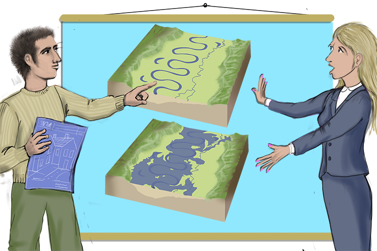
To remember the meaning of the term Flood Plain Zoning, use the following mnemonic:
Floods occur here, plain and simple, so this zone (flood plain zoning) must not be built on.
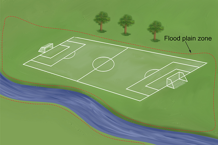
Flood plain zoning is a system for setting the level of flooding risk for different areas of a country. Governments can then make laws regarding development work in the different zones.
For instance, in the UK, the Environment Agency has divided areas into three main zones: 1, 2 and 3. Flood zone 1 covers areas least likely to flood, and flood zone 3 is for areas where flooding is most likely.
This means that in zone 1, there are very few if any restrictions on development relating to flooding; in zones 2 and 3, prospective developers must submit a flood risk assessment before a planning application can be considered.
The types of development that can be carried out in zones 2 and 3 are strictly controlled.
